


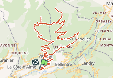

8,6 km | 12 km-effort


Usuario


Aplicación GPS de excursión GRATIS
 SityTrail
IGN / Institutos geográficos
SityTrail World
El mundo es suyo
Ruta Bici eléctrica de 38 km a descubrir en Auvergne-Rhône-Alpes, Saboya, La Plagne-Tarentaise. Esta ruta ha sido propuesta por franquen.
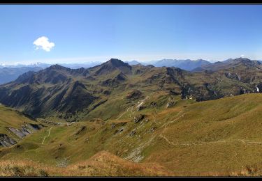
excellente randonnée en partant du Praz entre Aime et Bourg St Maurice.
chemin très bon et panorama sur la vallée et les Alpes (Mont Blanc, Mont Pourri, le Grand Bec, Mont Jovet ..) . Traversées des estives en douceur.
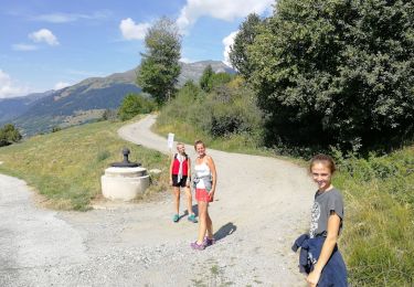
Senderismo
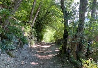
Senderismo

Senderismo

Senderismo
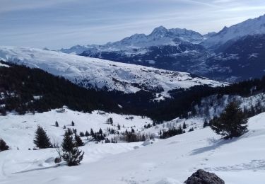
Esquí de fondo

Esquí de fondo
Senderismo

Raquetas de nieve
Senderismo